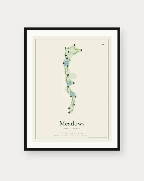
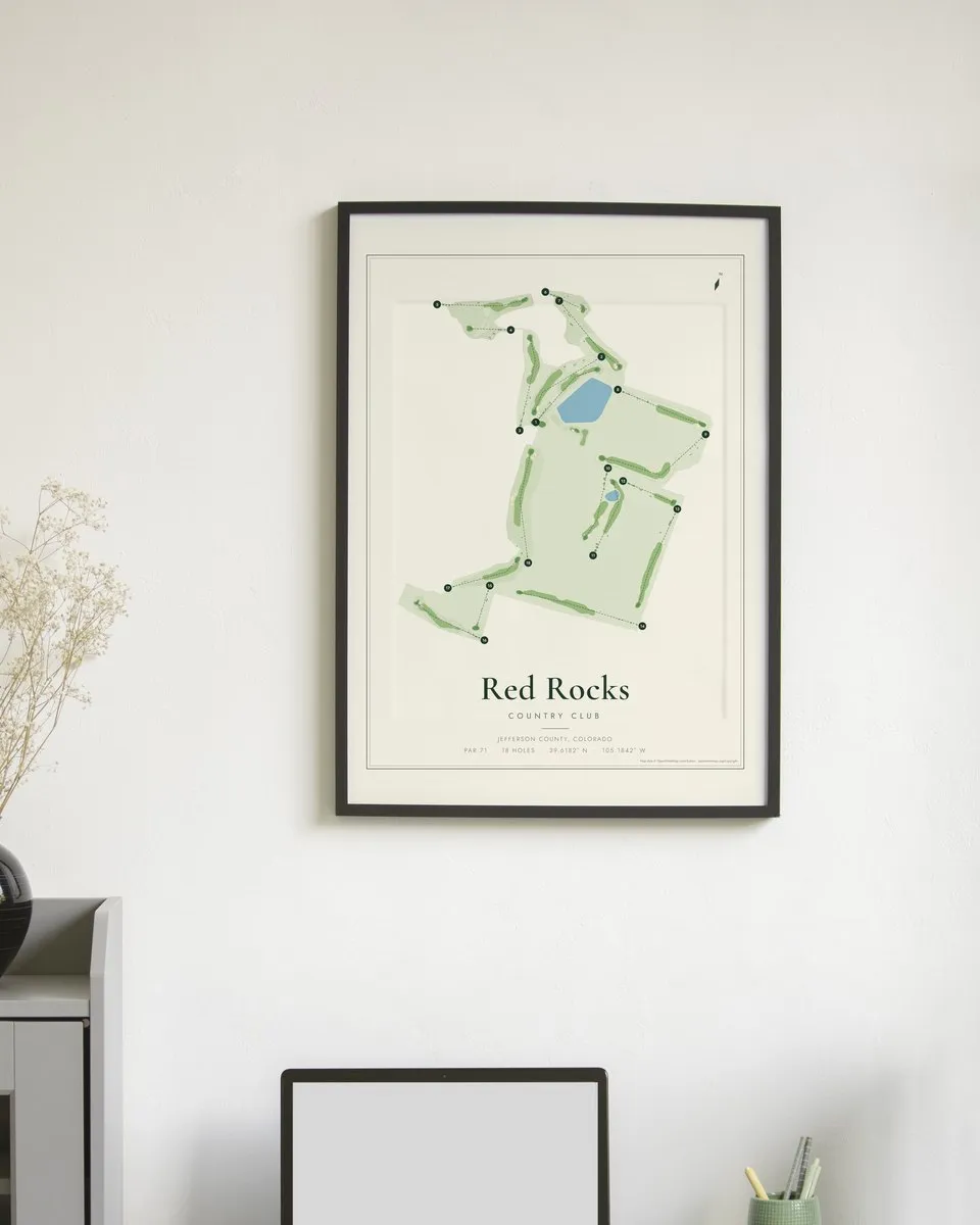
Red Rocks Country Club map print
A map print of all 18 holes at Red Rocks Country Club in Jefferson County, Colorado: par 71, about 6,765 yards from the back tees, 49 sand bunkers and 2 ponds or lakes. The longest hole is number 14 at about 592 yards.
Black Friday sale · ends Nov 30Not happy with it? Full refund within 30 days.
What's in the download
- Your course + every other course: 480 poster PDFs in one download
- Each prints sharp at 12x16, 18x24 or 24x32 inches
- Course missing? We add it free for buyers
Every golf course map. One download.
All 480 US courses, under 2¢ a map. Instant download, print any size, 30-day refund.
 ALL 480$9
Red Rocks Country Club course layout
Hole by hole
| Hole | 1 | 2 | 3 | 4 | 5 | 6 | 7 | 8 | 9 |
|---|---|---|---|---|---|---|---|---|---|
| Par | 4 | 4 | 4 | 3 | 4 | 3 | 4 | 4 | 5 |
| Yards | 376 | 412 | 433 | 173 | 400 | 175 | 409 | 417 | 562 |
| Hole | 10 | 11 | 12 | 13 | 14 | 15 | 16 | 17 | 18 |
|---|---|---|---|---|---|---|---|---|---|
| Par | 4 | 4 | 3 | 4 | 5 | 3 | 4 | 4 | 5 |
| Yards | 332 | 361 | 239 | 478 | 592 | 189 | 350 | 346 | 521 |
Yards are measured along each hole on the map, tee to green, from the back tees. They are close to, but not the same as, the official scorecard.
Questions about this print
What is the par at Red Rocks Country Club?
Red Rocks Country Club is a par 71 course with 18 holes, based on the course map.
How long is Red Rocks Country Club?
About 6,765 yards from the back tees, measured along each hole on the map. The longest hole is number 14 (about 592 yards) and the shortest is number 4 (about 173 yards).
What size can I print it?
Any 3:4 size. The PDF prints sharp at 12x16, 18x24 and 24x32 inches.
Is this an official Red Rocks Country Club product?
No. It is an artistic map made from OpenStreetMap data. Golf Atlas is not affiliated with the course.